The Map & Compass Course
Land Navigation From A - z
Learn what it takes to navigate with a map and compass from anywhere in the world, on your own time. This video course is yours to download and use for life (compatible with any smartphone) after purchase.
The Curriculum
Do you want to learn how to use a map and compass? Whether you are a beginner who wants to prepare for the backcountry or a veteran looking to sharpen your grid coordinate skills, this is the course for you.
Map and compass can seem like a lost art. Clear, easy to understand guides for beginners are difficult to find- and in person courses even harder.
This video course is yours to download after purchase- to as many of your devices as you would like. Watch on your 75” big screen or practice in places with zero reception on your smartphone. All 4k footage. Compatible with any home computer, tablet, or smartphone.
Here’s What You’ll Learn
*Learn to speak the language. We guide you through proper land navigation terminology throughout the course.
*Learn to understand the “three types of north”; true, grid, and magnetic, and their significance in land navigation.
*Topo maps. Learn to select a quality topographic map for field navigation. What they are, what features to look for, and where to obtain them.
*Baseplate vs Lensatic. Learn to select and employ a proper compass for field navigation. Understand the anatomy, useful features, selection, and use.
*Direction of travel. Learn to take an “azimuth” on your map or to the terrain features around you. This is how you identify precise directions for travel.
*Pathfinding. Learn the three types of “pathfinding” used by orienteering enthusiasts and the military alike. This will guide you on both how to plot and travel your routes.
*Lost? Learn to perform a “resection” in the field using your map and compass, should you become lost or disoriented.
*Learn to select and use map tools such as; protractors, corner scales, fresnel lenses, and pace count beads.
*Learn the essentials of grid coordinate systems. We will explore both latitude and longitude and the Universal Transverse Mercator System (UTM for short). Learn what they are, how to identify them on a map, and how to “pull your grid coordinates/location" using the most important of these systems for hiking and land navigation (Universal Transverse Mercator). UTM forms the basis of the Military Grid Reference System and the United States National Grid.
PURCHASE HERE. Only $39.99
Your instructor (Thomas Coyne) teaching one of his many in person courses.
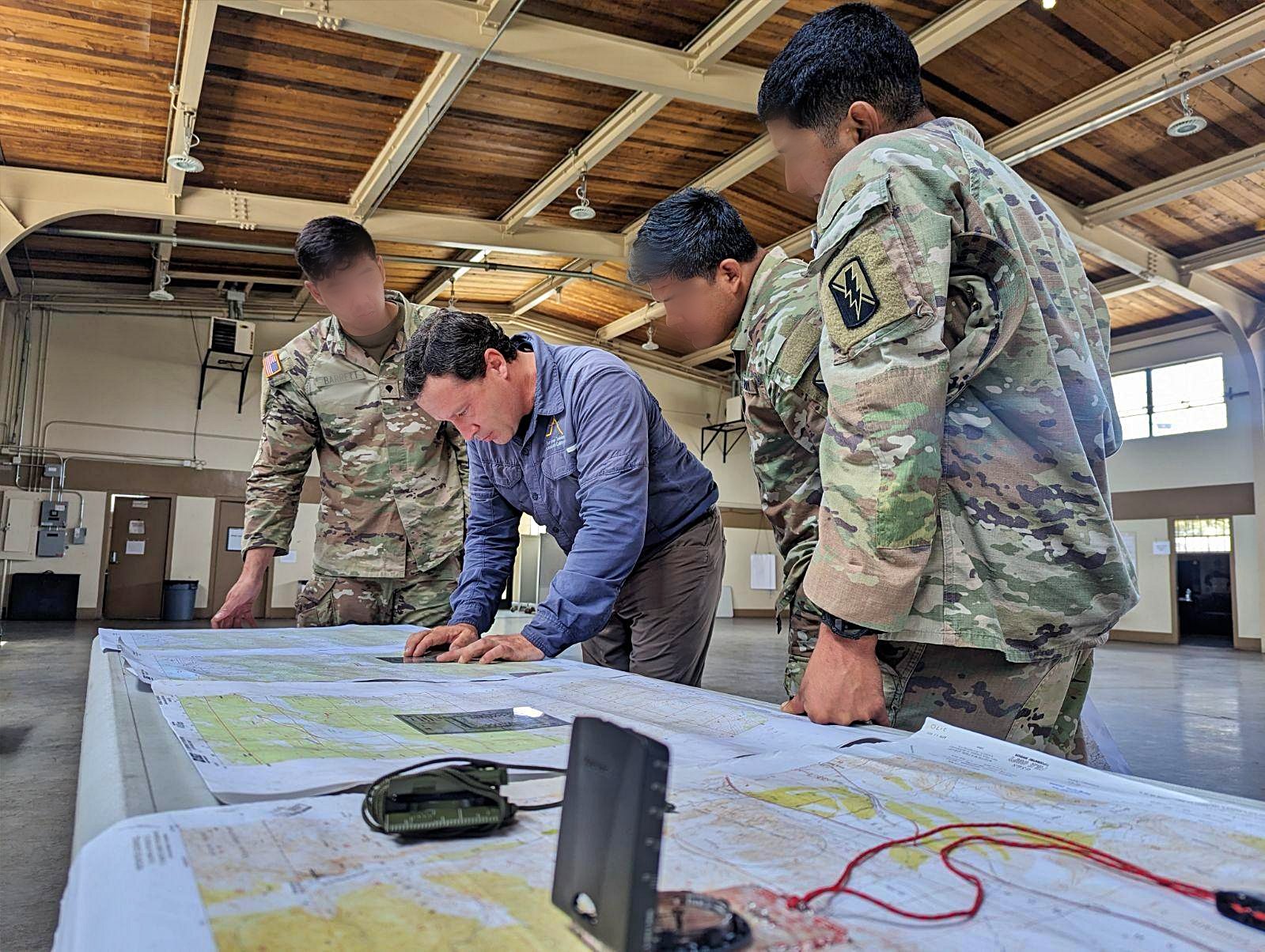
Thomas Coyne teaching map & compass to a local Army unit.
WHAT OUR STUDENTS ARE SAYING
“You exceeded all expectations as a survival instructor. Your extensive knowledge and steadfast ability to perform your duties as an instructor has truly been an asset to the training center, and earned the respect of the Marines.”
JJ Carroll JR. Commanding Officer, USMC Mountain Warfare Training Center. 2012
Purchase Your Course Here. Only $19.99 for a limited time.
You will receive a link to download your course the same day of purchase. Enjoy!
Your instructor.
Thomas Coyne is a former firefighter and EMT. He has been a professional survival instructor for over 14 years. He has provided training to the US Marine Corps, Army, Navy, and Air Force, as well as law enforcement agencies across California. His training in California and Alaska is highly sought after and rated.


